Kruger Park Ecology by Region
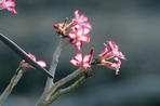
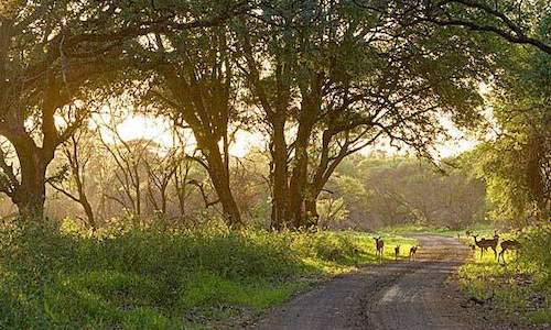
Images of a Great African Park
Nature is never in a balance, or at least not in the way that humans interpret the term. In the past the Kruger National Park biologists sought to manage the system in such a way that fluctuations in wildlife populations were minimised - however, certain management policies were to have a major impact on some species.The Lebombo Motorised 4x4 Eco-Trail follows the eastern boundary of the Park for 515 kilometres,
from Crocodile Bridge to Pafuri. While Stevenson-Hamilton believed in 'a balance of Nature', evidence suggests that the natural environment is never in a constant state of equilibrium, and is continuously influenced by weather patterns, fire and fluctuating wildlife populations.
Where Stevenson-Hamilton had relied on intuition and experience in managing the Park, the 1950s saw the emergence of a corps of scientists, reliant on scientific methods and statistical analysis, that would dominate the
management of Kruger Park for more than 40 years.
Under scientific management it was argued that because the Kruger Park was entirely surrounded by a game-proof fence, constant and careful management was necessary. Not only was the veld burnt at regular intervals, and other fires actively discouraged, but
wildlife populations were carefully monitored by conducting an annual census that took over three months to complete.
In 1972, Dr U de V Pienaar wrote, 'the Board is trying, by means of the skillful supply of water and scientific control of grazing, to build up the numbers of all herbivorous animals to an optimum level ... considerable
numbers of Wildebeest and Zebra are being captured in the overpopulated areas of the central district and transferred to the underpopulated areas south of the Sabie River.'
The frequent occurrence of droughts, and the bad press that this generated, was addressed by 'Water for Game' campaigns, which raised substantial sums of money. More than 300 windmills and 65 major dams were constructed, often in areas where no natural water had occurred historically. In the Southern Region alone 22 windmills and 11 dams were constructed from 1960-1971. The water provision programmes allowed water-dependent species such as zebra and impala to increase.
An increase in Zebras alters the nature of grasslands and allows Lions to colonise vacant territories, thus contributing to the decline of rare antelope such as Sable, Rroan, Reedbuck and Ttsessebe. These antelope require very specific habitats, inhabiting open woodlands and grasslands in prime condition. In the Central Region, 12 new lion prides have become established since the 1950s in areas where artificial water points were provided.
Because
water-dependent species thrived as a result of the water provision programmes, scientists then argued that it was therefore necessary to cull elephant, hippo, buffalo, zebra, wildebeest and impala.
Large herds of Cape Buffalo are a common feature of the northern mopaneveld. A census in 1967 counted 6 586 Elephants. Kruger National Park biologists decided to limit the population to 7 000. Culling of Elephant and Buffalo commenced in the same year.
In time, the necessity for these programmes was questioned as a better understanding of the ecosystem emerged, and eventually all culling campaigns, with the exception of those for elephant, were abandoned.In recent years, the Kruger National Park managers have retreated from intensive management, and have begun to rethink some of the direct management policies that were applied in the past.
A new fire policy allows fires started by lightning to burn without hindrance, and current thinking does not support culling except where certain habitat thresholds have been exceeded. Management of an intricate ecosystem requires the compilation of a detailed management plan that allows for public input and has built-in capacity for policy changes.
Kruger Park Ecology Management Plan
In March 1999 a revised management plan was approved. Central to the plan is a clear Mission Statement which is: 'To
maintain biodiversity in all its natural facets and to provide human benefits in keeping with the mission of the South African National Parks in a manner which detracts as little as possible from the wilderness qualities of the Kruger National Park.'
The management plan was compiled from the proceedings of 52 workshops involving important role players. One section contains a
new Elephant management plan that divides Kruger into six zones. Two botanical zones have been established, where the vegetation determines how the area is managed, and these two zones together cover 15 per cent of the Park.
One of these is situated in the southwestern corner of Kruger around Pretoriuskop (see map), extending in a corridor southward to the Malelane Mountains; the other is in the Far North,
extending from Punda Maria up to Pafuri. Here elephants will be limited to one animal per 2.86 square kilometres (the average density for the whole Park at the old ceiling of 7 000 elephants).
Finally, there are
two low impact zones, one extending from the Olifants River to just south of Tshokwane; and the other from Mopani Camp to the edge of the botanical zone around Punda Maria. The low impact zones cover 45 per cent of the Park, and in these areas elephants will be reduced by seven per cent per year by live capture or culling until certain habitat criteria have been met.
Two
high impact zones have been established, covering 40 per cent of the Park. One extends from just south of Tshokwane up to the Crocodile River, and the other extends from west of Satara Camp up to near Mopani Camp. Elephants will not be culled or captured in these high impact zones for the foreseeable future.
One of the most important new policies relates to water. Many of the 300 artificial water holes will be closed. By limiting the distribution of water, many of the imbalances that led to culling in the past will be corrected and
natural migratory patterns will hopefully be restored, which benefits the ecosystem by providing long rest periods for the vegetation.
The 'Southern Region' extends northwards from the southernmost border of the Park as far north as the Sabie River; the 'Central Region' from the Sabie River to the Olifants River; the '
Northern Region' from the Ollifants River to just south of Punda Maria; and the 'Far North' from Punda Maria up through Pafuri to the Limpopo River. Note that these regions and the names given to them here are not officially recognised.
The bed of the Mphongolo River in northern Kruger is framed by a tall apple-leaf, while flowering knobthorns add a colourful backdrop. Many ...
more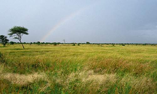
The various regions of Kruger Park differ according to the geology of soil types and rainfall, which dictates what sort of vegetational cove...
more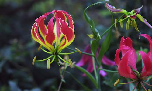
The park is generally flat to gently undulating, with average height of 260 metres (853 feet) above sea level, with its most mountainous are...
more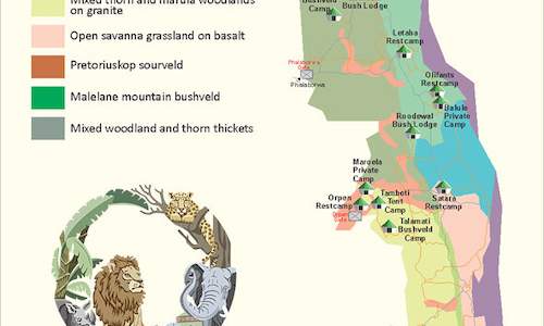
This ecology map of Kruger Park describes the location of the various camps in relation to the climate and vegetation. The vegetation determ...
more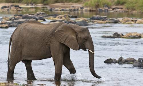
Six major rivers, stretch across the wilderness of Kruger National Park, the Crocodile River, the Limpopo River and the Olifants, Sabie, Let...
more
October month has been referred to as suicide month in the Kruger National Park. Conditions are hot, dry and dusty, bleak, barren and dead. ...
more